Shusha district
Azerbaijan /
Susa /
World
/ Azerbaijan
/ Susa
/ Susa
World / Azerbaijan
district, draw only border
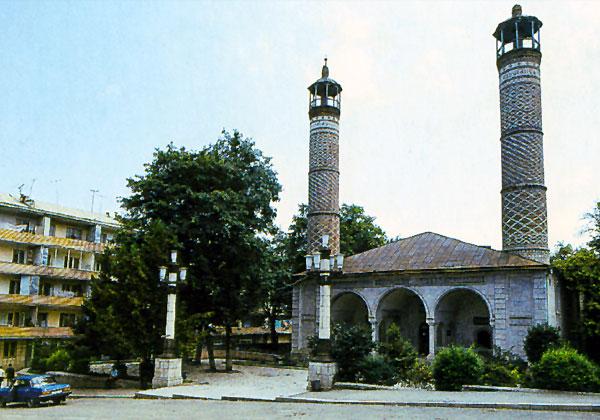
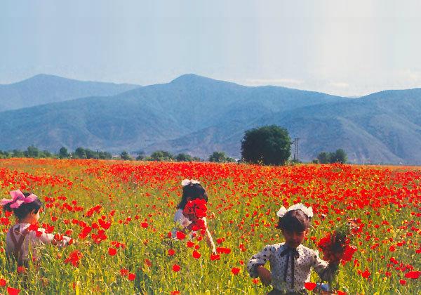
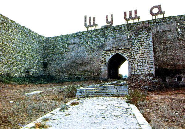
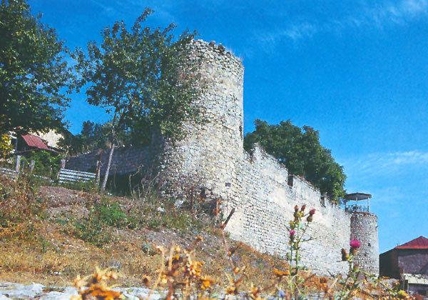

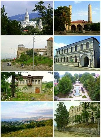
Shusha Province (Azerbaijani: Şuşa rayonu, Armenian: Շուշիի շրջան) is a disputable region in South Caucasus.
The province has 7 communities of which 1 is considered urban and 6 are rural. The towns of Shusha and Karintak are under the control of the Azerbaijan Army after the Battle of Shusha (2020).
According to jurisdiction of Azerbaijan, it is a part of Shusha district of Azerbaijani Republic.
According to the Artsakh Republic, currently controlling this area, this is a part of Shushi Province of the Republic of Artsakh (unrecognized by world community yet).
Wikipedia article: http://en.wikipedia.org/wiki/Shusha_District
Nearby cities:
Coordinates: 39°42'26"N 46°40'20"E
This article is protected.
- Lachin District 67 km
- Kalbajar District 116 km
- Sabirabad district 143 km
- Lenkeran 165 km
- Hajigabul District 169 km
- Ismailly district 178 km
- Tovuz Rayon 201 km
- Absheron District 215 km
- Garadagh district 239 km
- Khanaqin 569 km
- Bala Kirs Mount, 2346,4 mt. 6 km
- Gurbankesilen mt. 6.9 km
- Big Kirs, 2725 mt. 10 km
- Khojaly District 16 km
- Hadrut District 26 km
Comments