Kwajalein
Marshall Islands /
Kwajalein /
Ebeye /
World
/ Marshall Islands
/ Kwajalein
/ Ebeye
World
island, U.S. National Historic Landmark

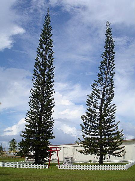
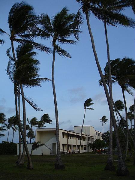
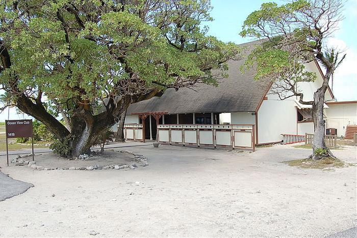
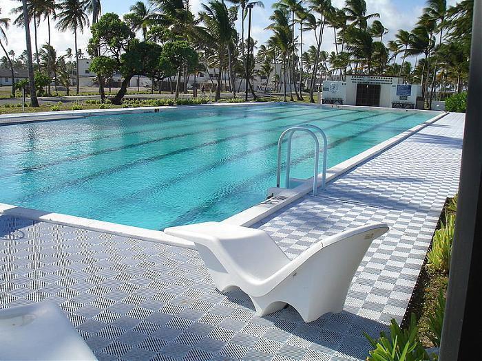
Kwajalein is the largest island in the Kwajalein Atoll. The island is about 1.2 square miles (3.1 km2).[4] It is 2.5 miles (4.0 km) long and averages about 800 yards (730 m) wide. About 1000 mostly U.S. military personnel live on the island, which hosts the Bucholz Army Airfield.
Kwajalein Atoll is part of the Republic of the Marshall Islands (RMI). It lies in the Ralik Chain, 2,100 nautical miles (3900 km) southwest of Honolulu, Hawaii at 8°43′N 167°44′E. Kwajalein is one of the world's largest coral atolls as measured by area of enclosed water. Comprising 97 islets, it has a land area of 16.4 km², and surrounds one of the largest lagoons in the world, with an area of 2174 km².
Kwajalein Atoll is part of the Republic of the Marshall Islands (RMI). It lies in the Ralik Chain, 2,100 nautical miles (3900 km) southwest of Honolulu, Hawaii at 8°43′N 167°44′E. Kwajalein is one of the world's largest coral atolls as measured by area of enclosed water. Comprising 97 islets, it has a land area of 16.4 km², and surrounds one of the largest lagoons in the world, with an area of 2174 km².
Wikipedia article: http://en.wikipedia.org/wiki/Kwajalein_Atoll
Nearby cities:
Coordinates: 8°43'50"N 167°43'41"E
- Namu Atoll 63 km
- Kwajalein Atoll 126 km
- Wotho Atoll 256 km
- Ebon Atoll 461 km
- Ebon 470 km
- Kosrae Island 652 km
- Ujelang Atoll 772 km
- Pohnpei Island 1080 km
- Ant Atoll 1105 km
- Pakin Atoll 1114 km
- Former Zeus Acquisition Radar Site 0.9 km
- Bucholz Army Airfield (PKWA) 0.9 km
- Runway 6/24 1.2 km
- Old "New" housing 1.7 km
- Satellite tracking Station 14 km
- Dyess Army Airfield (PKRO) 79 km
- KREMS radar facility 79 km
- Wreck of HIJMS RO-42 166 km
- Wreck of HIJMS RO-40 176 km
- Rongelap Airport 285 km