Nigeria /
Abuja Federal Capital Territory /
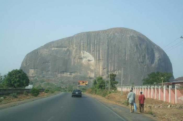
Zubo /


Abuja
World / Nigeria / Abuja Federal Capital Territory / Zubo World / Nigeria / Federal Capital Territory
ABUJA METROPOLITAN AREA
Abuja, is the administrative capital of Nigeria and became the official capital on December 12, 1991. www.fct.gov.ng/ Federal Capital Territory Official website
www.fctmdgprojecttracker.org/index.php/projects/communi...
www.nigeria.gov.ng/
www.nigeriafirst.org/ State House Abuja
nigeria.usembassy.gov/nigerian_government.html
abuccima.com/ Abuja Chamber of Commerce
www.abujacity.com/abuja_and_beyond/abuja-get-to-know.ht...
Abuja, Nigeria postal codes by area, www.geopostcodes.com/index.php?pg=browse&grp=1&sort=1&n...
For post codes and street names, see also Nigeria Postal Service www.nipost.gov.ng/
PHASE 1 development has been nearly completed and it includes the following:
the Central Business District,
the Three Arms Zone (presidency, National Assembly and Supreme Court
as well as the Maitama, Wuse, Garki and Asokoro residential and business districts.
Phase 1 District of the city is divided into five (5) districts. They are the Central, Asokoro, Garki, Wuse and Maitama.
Phase 2 Districts are: Kado, Durumi, Gudu, Utako and Jabi.
Phase 3 Districts are: Mabuchi, Katampe, Wuye and Gwarimpa.
The five suburban districts are: Gwagwalada, Kubwa, Nyanya, Karu and Jukwoyi.
Along the Airport Road on the approach to Abuja City are satellite towns, namely Lugbe, Chika, Kuchigworo and Pyakassa. Other satellite towns are Idu (the main industrial zone), Mpape, Karimu, Gwagwa, Dei-Dei (housing the International Livestock market and also International Building materials market).
Abuja Districts and Phase Development with place names. See: www.abuja-ng.com/abuja-districts.html
www.bing.com/images/search?q=Map+Of+Abuja&FORM=IQFRDR
media.photobucket.com/image/Road%20Map%20Of%20Abuja/bil...
urbanaxisng.com/images/Abuja_Districts.jpg
www.abuja-ng.com/abuja-districts.html
www.ceaser-web.com/ interactive maps (must be viewed in Internet Explorer, not in Chrome)
citycapital city of country
Wikipedia article: http://en.wikipedia.org/wiki/Abuja
Nearby cities:
Coordinates: 9°2'31"N 7°26'33"E
- Minna 129 km
- Kaduna 177 km
- Makurdi 177 km
- Jos 187 km
- Zaria 241 km
- Enugu 280 km
- Bauchi 293 km
- Onitsha Metro 317 km
- Benin City 353 km
- Gombe 424 km
- Central Area District 4.3 km
- Galadima 6.9 km
- Gwarimpa I 7.5 km
- Maitama 7.7 km
- Asokoro 8.3 km
- Gwarinpa I 8.4 km
- Lugbe East 10 km
- Ginda 11 km
- Old Karu District 15 km
- Lugbe South 17 km
Comments