Augustów
Poland /
Podlaskie /
Augustyw /
World
/ Poland
/ Podlaskie
/ Augustyw
World / Poland / Podlachian
city, third-level administrative division, spa town
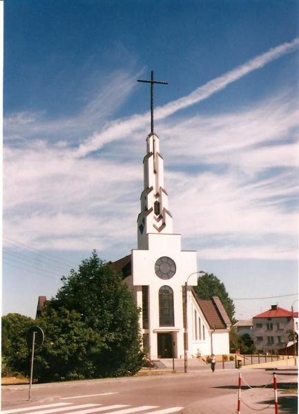
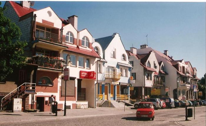
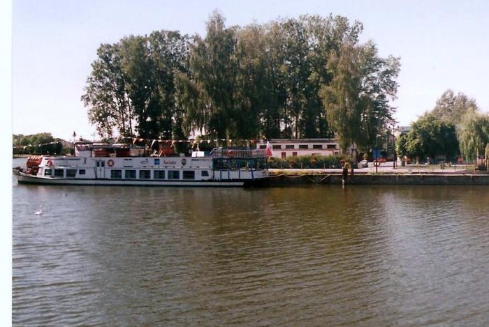
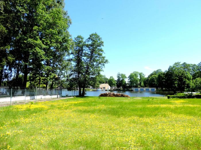
Augustów [auˈgustuf] is a town in north-eastern Poland with 29,600 inhabitants (1995). It lies on the Netta River and the Augustów Canal.
It is situated in the Podlaskie Voivodeship (since 1999), having previously been in Suwałki Voivodeship (1975–1998). It is the seat of Augustów County and of Gmina Augustów.
The town was first mentioned in 1496 and was granted city rights by king Sigismund II in 1557. Until 1569 Augustów belonged to the Grand Duchy of Lithuania when the Real union called Union of Lublin was signed between Poland, Grand Duchy of Lithuania and Royal Prussia. As a result, the town became a part of the Kingdom of Poland, while its cemetery was left in the Grand Duchy of Lithuania. Tatar invaders destroyed Augustów in 1656, and the second half of the 17th century saw the town afflicted by plague.
In 1795 Prussia annexed Augustów. In 1807 it became part of the Duchy of Warsaw, followed by incorporation into the Kingdom of Poland in 1815. It was made a county seat in 1842. The first railway connection reached Augustów in 1899.
During World War I, the Russian army successfully counterattacked the German army across Augustów in 1914. In the aftermath of World War I, it was a site of the Battle of Augustów in 1920. From 1939 to 1941, Soviet troops occupied the town. Many inhabitants were sent to exile in Kazachstan, from where some were able to return after 6 years. The Nazi German forces occupied Augustów until 1944. World War II brought destruction of about 70% of the town and death or departure of most of its residents, amongst them a community of several thousand Jews who were imprisoned in the ghetto situated between the canal and the river. The Germans executed practically all of them before they left. In 1945 the Soviets conducted the nearby Augustów chase 1945 - a special operation against former Armia Krajowa anticommunist fighters.
In 1970 Augustów officially became a health-cure resort, and in 1973 adjoining local villages were made a part of it.
Wikipedia article: http://en.wikipedia.org/wiki/Augustów
Nearby cities:
Coordinates: 53°50'41"N 23°0'40"E
- Hrodna 47 km
- Kaunas 133 km
- Vilnius 171 km
- Minsk 286 km
- Mahilioŭ (Mogilev) 473 km
- Homieĺ 539 km
- Khmelnytskyi 554 km
- Smolensk 580 km
- Chernihiv 604 km
- Kyiv 611 km
- ул. 3 Мая, 60 1.5 km
- ул. 3 Мая, 48 1.6 km
- ul. Osiedlowa, 1 1.9 km
- ul. Księdza Ignacego Skorupki, 12B 2 km
- Electrical substation 3.4 km