KABC-TV Doppler 7000 Radar
USA /
California /
Santa Clarita /
World
/ USA
/ California
/ Santa Clarita
World / United States / California
weather radar
Add category
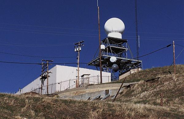
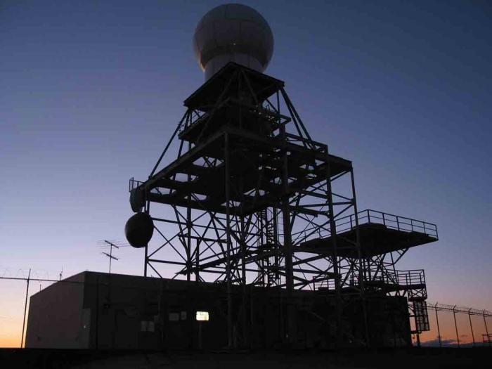
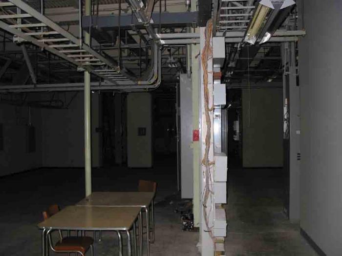
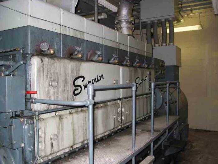
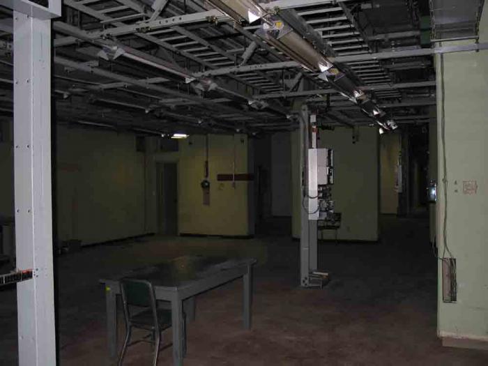
Now site of the KABC-TV Channel 7 Doppler Radar and owned by American Tower Company, it was originally the AT&T Oat Mountain long lines facility.
Various photographs of the antenna and facility can be seen here:
www.flickr.com/photos/thefiend/sets/1796785/
long-lines.net/index.html
Various photographs of the antenna and facility can be seen here:
www.flickr.com/photos/thefiend/sets/1796785/
long-lines.net/index.html
Wikipedia article: http://en.wikipedia.org/wiki/Doppler_radar
Nearby cities:
Coordinates: 34°19'47"N 118°36'4"W
- NOAA NEXRAD - KRIW 1309 km
- NOAA NEXRAD - KAMA 1546 km
- Campeche Bank 2981 km
- National Weather Service WFO Detroit/Pontiac 3173 km
- Environment Canada Weather Radar - King City 3499 km
- Gibbsboro Air Force Station (closed) 3885 km
- NOAA NEXRAD (KDIX) 3930 km
- Radar 8568 km
- Drogden lighthouse 9016 km
- Queen Alia airport radar station 12215 km
- Oat Mountain Radio Site 1 km
- Antonovich Open Space Park (Joughin Ranch Section) 1.9 km
- Rice Canyon + East Canyon Parks 3.3 km
- Shell Oil Fields 4 km
- Santa Clarita Woodlands Park+ Mentryville Historic Park 4.3 km
- Rocky Peak Park 4.8 km
- Southern Oaks 5 km
- Lyons Canyon Ranch 5.1 km
- Stevenson Ranch 7.1 km
- Newhall 7.2 km
Comments