Etobicoke-Mississauga Creek Bridge (Toronto, Ontario)
Canada /
Ontario /
Toronto /
Toronto, Ontario
World
/ Canada
/ Ontario
/ Toronto
World / Canada / Ontario / Peel
creek, bridge
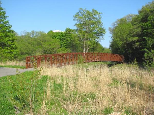


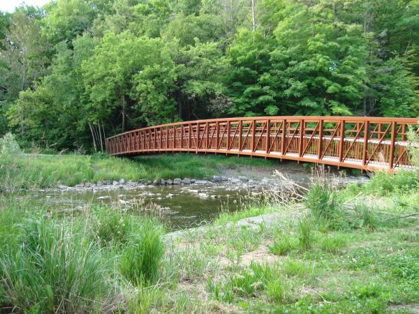
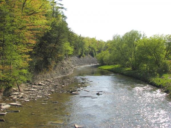
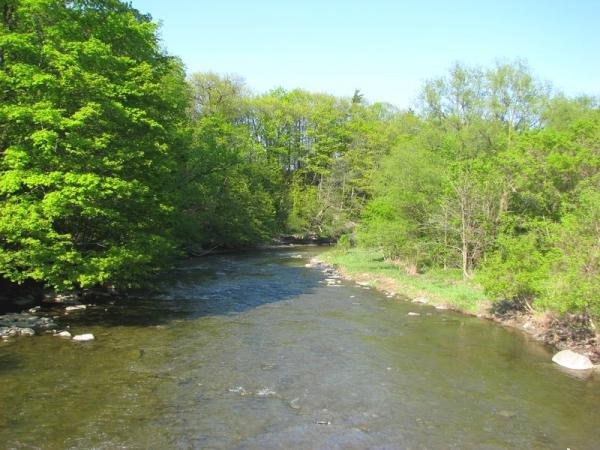
Etobicoke-Mississauga Creek Bridge is a creek, bridge located in Toronto, Ontario. Etobicoke-Mississauga Creek Bridge - Toronto, Ontario on the map.
Nearby cities:
Coordinates: 43°38'39"N 79°35'37"W
- Burnhamthorpe bridge over Credit River 11 km
- Prince Edward Viaduct 19 km
- Overpass 20 km
- Former Church Street Interchange location 49 km
- Former Harwood Avenue Interchange location 51 km
- Wellington & Hwy.6 and 7 56 km
- Whitby, Port Perry, and Lindsay Railway between North Whitby and Myrtle Jct./Crossing 65 km
- Glen Morris Bridge 73 km
- Rainbow Bridge (Ontario - New York border crossing) 75 km
- North Grand Island Bridge 80 km
- (City of Mississauga, ON)Wood Creek Park 0.2 km
- Rathburn Ridge 0.3 km
- Garnetwood Park 0.6 km
- Rathburn Place 0.7 km
- Hydro Corridor Centennial Park 0.7 km
- Centennial Park, Toronto 0.9 km
- Fleetwood Park 1.2 km
- Research In Motion 1.3 km
- Glenforest Secondary School 1.9 km
- Markland Wood Golf Club 2 km