Tuncurry, NSW
Australia /
New South Wales /
Forster-Tuncurry /
World
/ Australia
/ New South Wales
/ Forster-Tuncurry
World / Australia / New South Wales
town
Add category
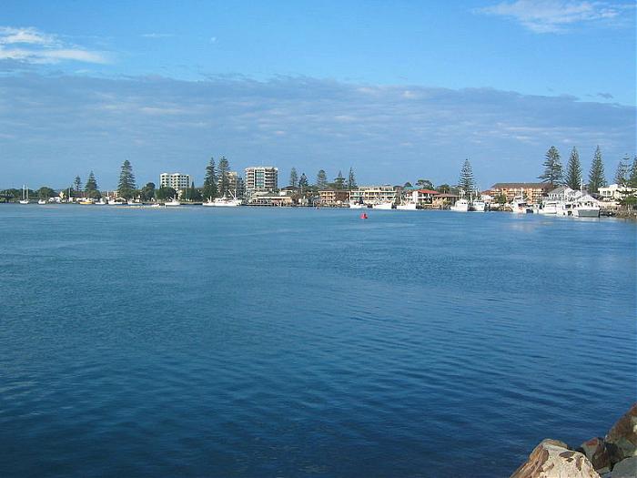
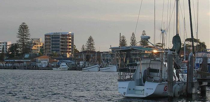
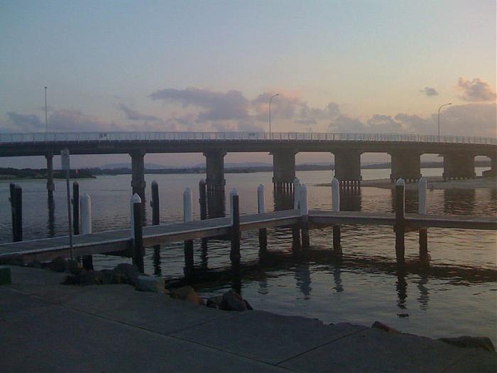
Tuncurry is a coastal town in the Mid North Coast region of New South Wales, Australia, in the Mid-Coast Council LGA, about 307 km (191 mi) north north east of Sydney. It is immediately adjacent to its twin town of Forster, which is the larger of the two towns.
The size of Tuncurry is approximately 16 km². It has 7 parks covering nearly 2% of the total area. There are 2 schools and 1 childcare centre located in Tuncurry. The population of Tuncurry in 2001 was 5,405 people. By 2006 the population was 5,535 showing a population growth of 2% in the area during that time. The predominant age group in Tuncurry is 70 - 79 years.
The size of Tuncurry is approximately 16 km². It has 7 parks covering nearly 2% of the total area. There are 2 schools and 1 childcare centre located in Tuncurry. The population of Tuncurry in 2001 was 5,405 people. By 2006 the population was 5,535 showing a population growth of 2% in the area during that time. The predominant age group in Tuncurry is 70 - 79 years.
Wikipedia article: http://en.wikipedia.org/wiki/Tuncurry,_New_South_Wales
Nearby cities:
Coordinates: 32°9'41"S 152°29'24"E
- Forster 2.1 km
- Diamond Beach, New South Wales 17 km
- Smiths Lake 24 km
- Bulahdelah 38 km
- Shearwater 62 km
- Hawks Nest 63 km
- Tea Gardens 63 km
- Bundabah 68 km
- Nelson Bay 71 km
- Tanilba Bay 80 km
- Central North Coast Sporting Car Club (Former RAAF Base Nabiac) 6.2 km
- Wallis Island Nature Reserve 6.2 km
- Wallis Lake 13 km
- Wallamba Nature Reserve 17 km
- Smiths Lake 25 km
- Sugar Loaf Bay 28 km
- Myall Lake 32 km
- MidCoast Council, NSW 38 km
- The Glen Nature Reserve 42 km
- Bombah Broadwater 45 km