Huyện Đức Phổ
Vietnam /
Duyen Hai Mien Trung /
Quang Ngai /
World
/ Vietnam
/ Duyen Hai Mien Trung
/ Quang Ngai
World / Vietnam / Nam Trung Bộ / Quảng Ngãi / Đức Phổ
district, draw only border


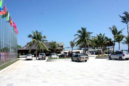
Đức Phổ is a district-level town (thị xã) of Quảng Ngãi Province in the South Central Coast region of Vietnam. As of 2019 the town had a population of 150,927. The town covers an area of 372.76 km². The town capital lies at Nguyễn Nghiêm ward.
Wikipedia article: https://en.wikipedia.org/wiki/Đức_Phổ
Nearby cities:
Coordinates: 14°45'26"N 108°57'13"E
- Nam Giang district 218 km
- Bao Lam district 358 km
- Bo Trach district 463 km
- Tuyen Hoa district 516 km
- Huyện Đảo Vân Đồn 747 km
- Ky Son district 771 km
- Moc Chau 852 km
- Mai Son District 924 km
- Văn Chan District 928 km
- Van Yen District 961 km
- Liet Son lake 2 km
- Ba Kham commune 8.8 km
- Ba Trang commune 14 km
- Ba Lien commune 16 km
- An Hoa commune 18 km
- An Tan commune 20 km