Hawi, Hawaii
| town, CDP - Census Designated Place
USA /
Hawaii /
Hawi /
World
/ USA
/ Hawaii
/ Hawi
World / United States / Hawaii
town, CDP - Census Designated Place

Hāwī is in Hawai‘i County, Hawai‘i, United States. The population was 938 at the 2000 census.
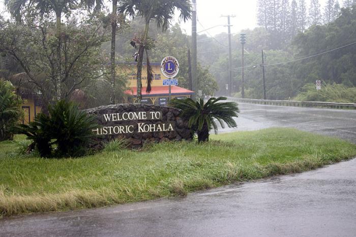
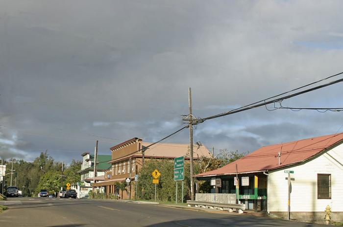
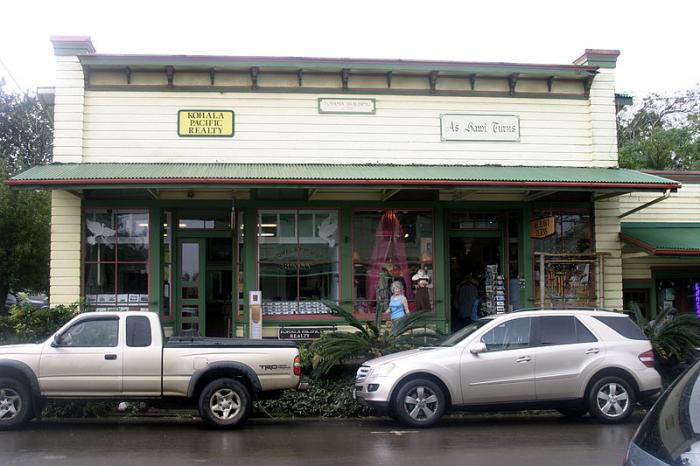
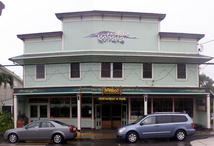
Hāwī is situated near the town of Kapa‘au. Together they comprise the most densely populated region in the district of North Kohala. Historically this part of Kohala is significant as the birthplace of Kamehameha I and the location of the Mo‘okini heiau. The two towns were once busy commercial centers during the operation of the Kohala Sugar plantation.
Hāwī is situated near the town of Kapa‘au. Together they comprise the most densely populated region in the district of North Kohala. Historically this part of Kohala is significant as the birthplace of Kamehameha I and the location of the Mo‘okini heiau. The two towns were once busy commercial centers during the operation of the Kohala Sugar plantation.
Wikipedia article: http://en.wikipedia.org/wiki/Hawi,_Hawaii
Nearby cities:
Coordinates: 20°13'38"N 155°50'7"W
- Waimea/Kamuela, HI 27 km
- Hilo, Hawaii 91 km
- Lahaina, Hawaii 117 km
- Kaunakakai 158 km
- Mililani Mauka 266 km
- Poipu, Hawaii 422 km
- Koloa, HI 423 km
- Wailua Homesteads 423 km
- Lawai, HI 427 km
- Kilauea, Hawaii 433 km
- ‘Iole Hawaii 4.6 km
- Kohala Coast 10 km
- Kohala Ranch 14 km
- Kawaihae Hawaiian Home Land 18 km
- Pu'u O Umi Natural Area Reserve 20 km
- Queen Emma Land Company 21 km
- Kawaihae Bay 25 km
- Pupukea Paalaa Uka Military Road 31 km
- Alenuihāhā Channel 34 km
- Hawai‘i 83 km