ಸಕಲೈಶಪುರವು
India /
Karnataka /
Sakleshpur /
Sakleshpura, Hassan District, Karnataka State, INDIA
World
/ India
/ Karnataka
/ Sakleshpur
/ ಭಾರತ / ಕರ್ನಾಟಕ /
ಪಟ್ಟಣ, ಐತಿಹಾಸಿಕ, mandal headquarter (en)
ತಹಸೀಲ ಸಕಲೈಶಪುರವು, ಜಿಲಾ ಹಾಸನ (ಹಾಸನ), ಕರ್ನಾಟಕ, ಭಾರತ
ವಿಕಿಪಿಡಿಯಾ ಬರಹ: https://kn.wikipedia.org/wiki/ಸಕಲೇಶಪುರ
Nearby cities:
ಕಕ್ಷೆಗಳು: 12°56'32"N 75°46'51"E
- hassan saheb kathijamma sulaiman hassan 1.2 ಕಿಮೀ
- Planter's Club 2.8 ಕಿಮೀ
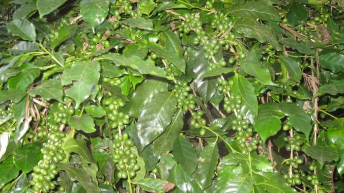
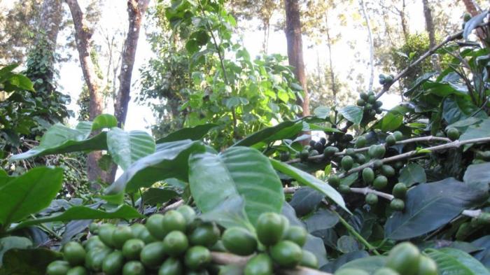
- Pradeep's coffee estate 3.2 ಕಿಮೀ
- Govt. Higher Primary School, SUNDEKERE. 5.5 ಕಿಮೀ
- MONIS 5.7 ಕಿಮೀ
- Catholic Church Sundekere, Sakleshpur, Hassan, Karnataka. 5.9 ಕಿಮೀ
- Kirehalli Patel Devappa Gowda Estate 6.5 ಕಿಮೀ
- Noothan S Kotyan 8.1 ಕಿಮೀ
- shivajyothi chitra mandira from pradeep kumar 12 ಕಿಮೀ
- Saslu baare kudhure farm 13 ಕಿಮೀ
hassan saheb kathijamma sulaiman hassan
Planter's Club
Pradeep's coffee estate
Govt. Higher Primary School, SUNDEKERE.
MONIS
Catholic Church Sundekere, Sakleshpur, Hassan, Karnataka.
Kirehalli Patel Devappa Gowda Estate
Noothan S Kotyan
shivajyothi chitra mandira from pradeep kumar
Saslu baare kudhure farm
ಪ್ರತಿಕ್ರಿಯೆಗಳು