USA /
New Jersey /
West New York /
New York City, New York


Dutch Kills (New York City, New York)
World / USA / New Jersey / West New York World / United States / New York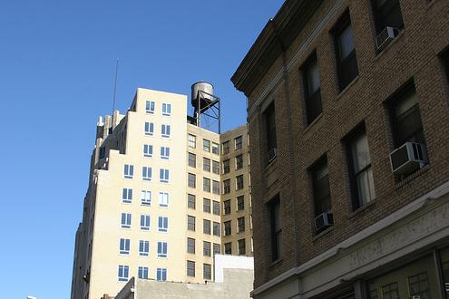
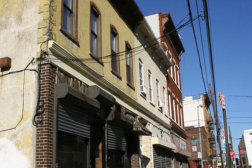
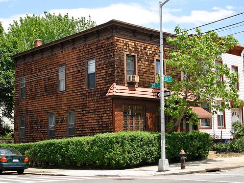
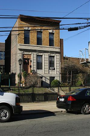
Dutch Kills is a neighborhood in the Long Island City district of New York City's borough of Queens. It was a hamlet, named for its navigable tributary of Newtown Creek, that occupied what today is centrally Queensboro Plaza. Dutch Kills was an important road hub during the American Revolutionary War, and the site of a British Army garrison from 1776 to 1783. The area supported farms during the 19th Century, and was finally consolidated in 1870 with the villages of Astoria, Ravenswood, Hunters Point and Blissville to form Long Island City.
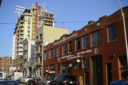
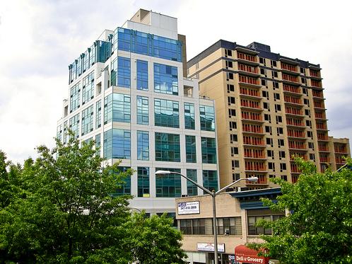
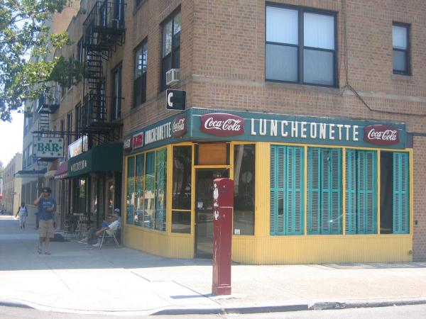
It is named for an eponymous 17th century tributary of Newtown Creek that ran roughly where Queensboro Plaza is located today. In the 1800s, the neighborhood quickly shifted from a rural farming community to an industrial and commercial hub. Due to the recent gentrification of the greater Long Island City area, Dutch Kills is being re-envisioned (and rezoned) back to it's residential roots. Many factories and warehouses are currently in the process of conversion into luxury apartments and condos/co-ops.
www.nyc.gov/html/dcp/pdf/dutch_kills/existing_zoning.pd...
Categories: neighbourhood, draw only border
Wikipedia article: http://en.wikipedia.org/wiki/Dutch_Kills
Nearby cities:
Coordinates: 40°45'15"N 73°56'9"W
- Sunnyside 2.3 km
- Greenpoint 3.4 km
- Williamsburg 4.1 km
- Astoria 4.3 km
- Bushwick 5 km
- Stuyvesant Heights 6.1 km
- East New York 7.2 km
- Harlem (Manhattan, NY) 9 km
- Canarsie 11 km
- Bensonhurst 15 km
- Queens Plaza District 0.7 km
- Ravenswood Houses 0.8 km
- Sunnyside Rail Yards 0.8 km
- HAROLD interlocking 1 km
- Long Island City (Downtown) 1.5 km
- Sunnyside Gardens Historic District 1.9 km
- Western Queens 3.9 km
- Manhattan 4.1 km
- Queens 13 km
- The Palisades 23 km